Straits of Messina Transect
Friday July 16th
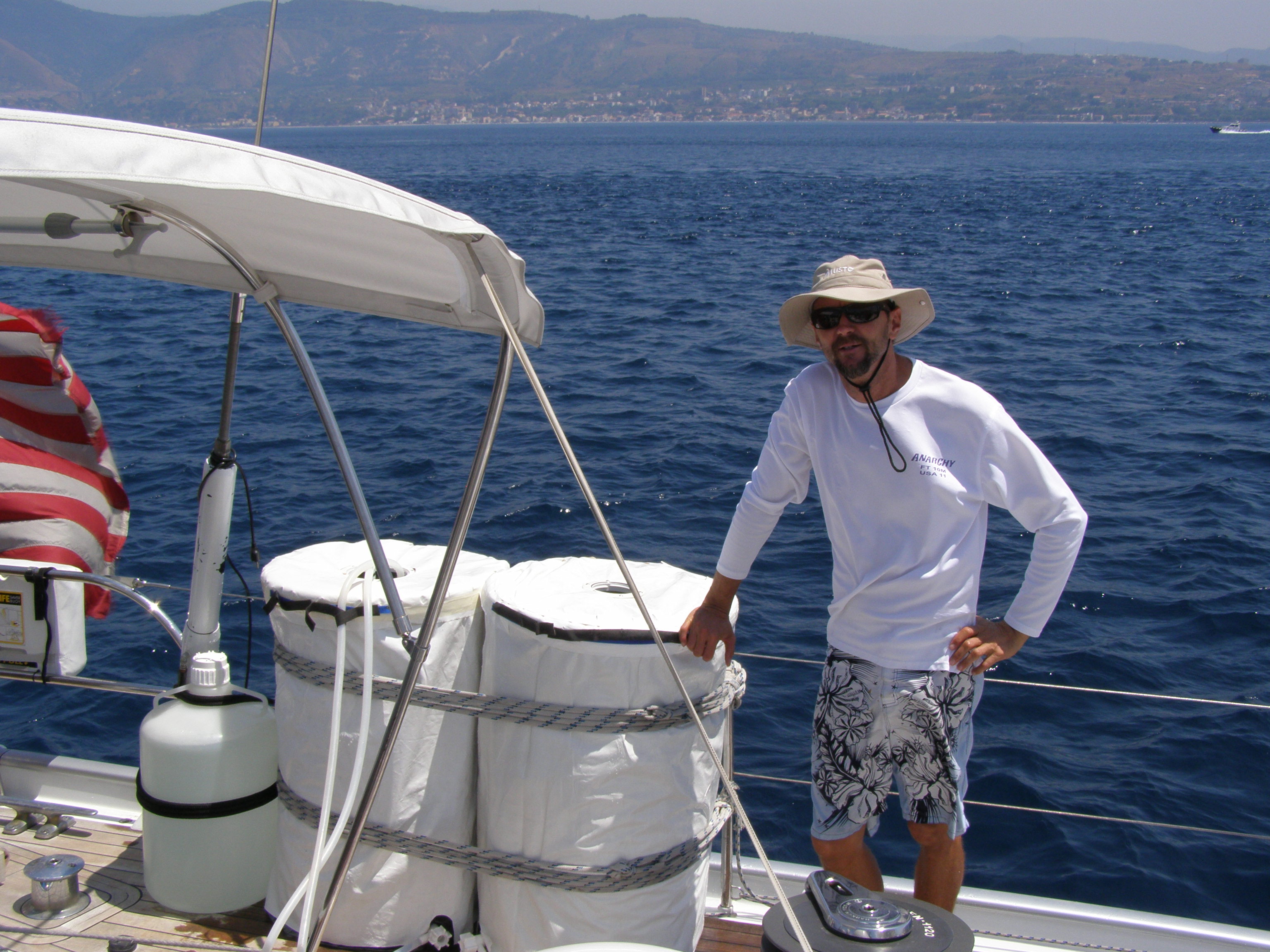
Today we woke up early and left our anchorage at Vulcano Island and headed to the Straits of Messina 20 miles away. The plan was to collect a sample at the north entrance, anchor for 5 hours to process the sample. Once the sample was completed then head to the middle of the straits collect another sample, anchor again process that sample, and pick up another sample on the south side of the straits and keep sailing towards the Adriatic Sea.
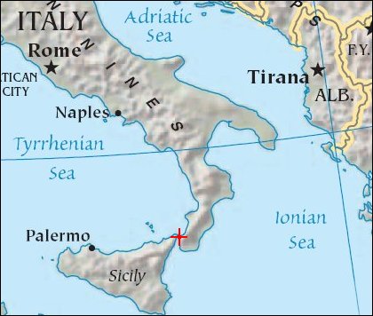
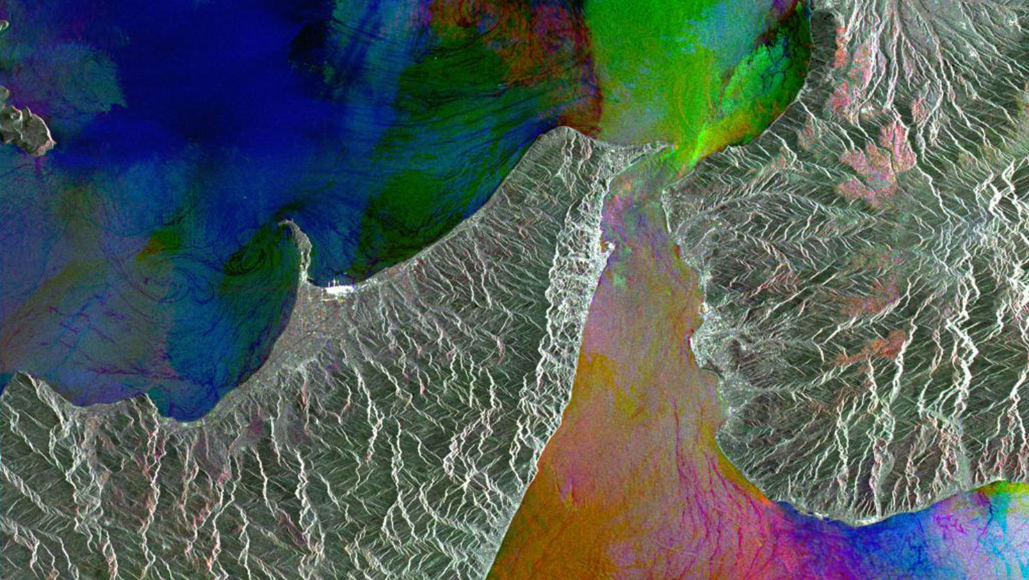
The Strait of Messina is 20 miles (32 km) long and from 2 to 10 miles (3.2-16 km) wide, separating the Italian peninsula from Sicily and connecting the Ionian and Tyrrhenian seas. The massive amounts of water being funneled into a relatively small space creates strong currents and whirlpools. Since this is the area where two big bodies of water meet, we wanted to make sure we collected samples along a north/south transect.
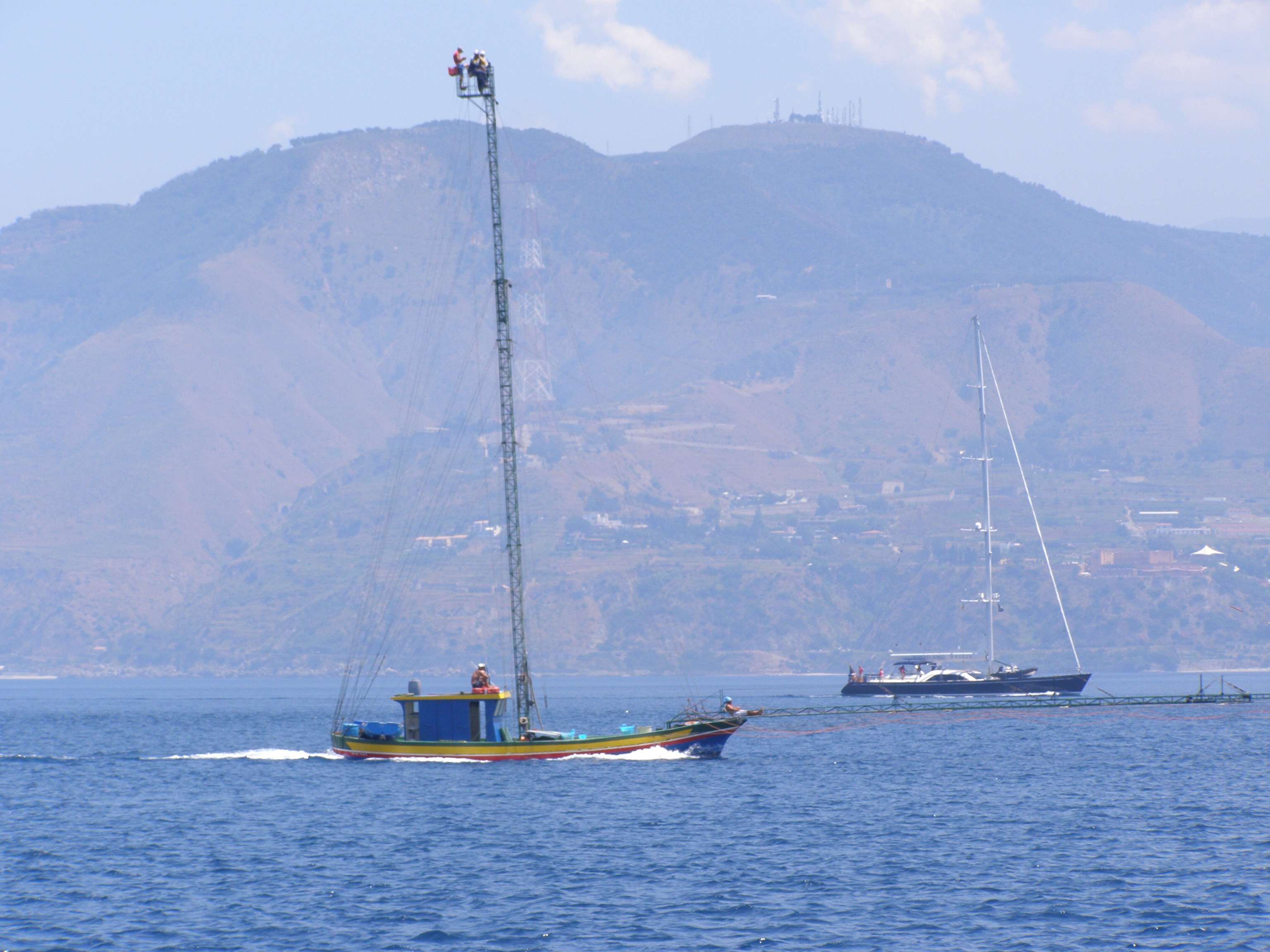
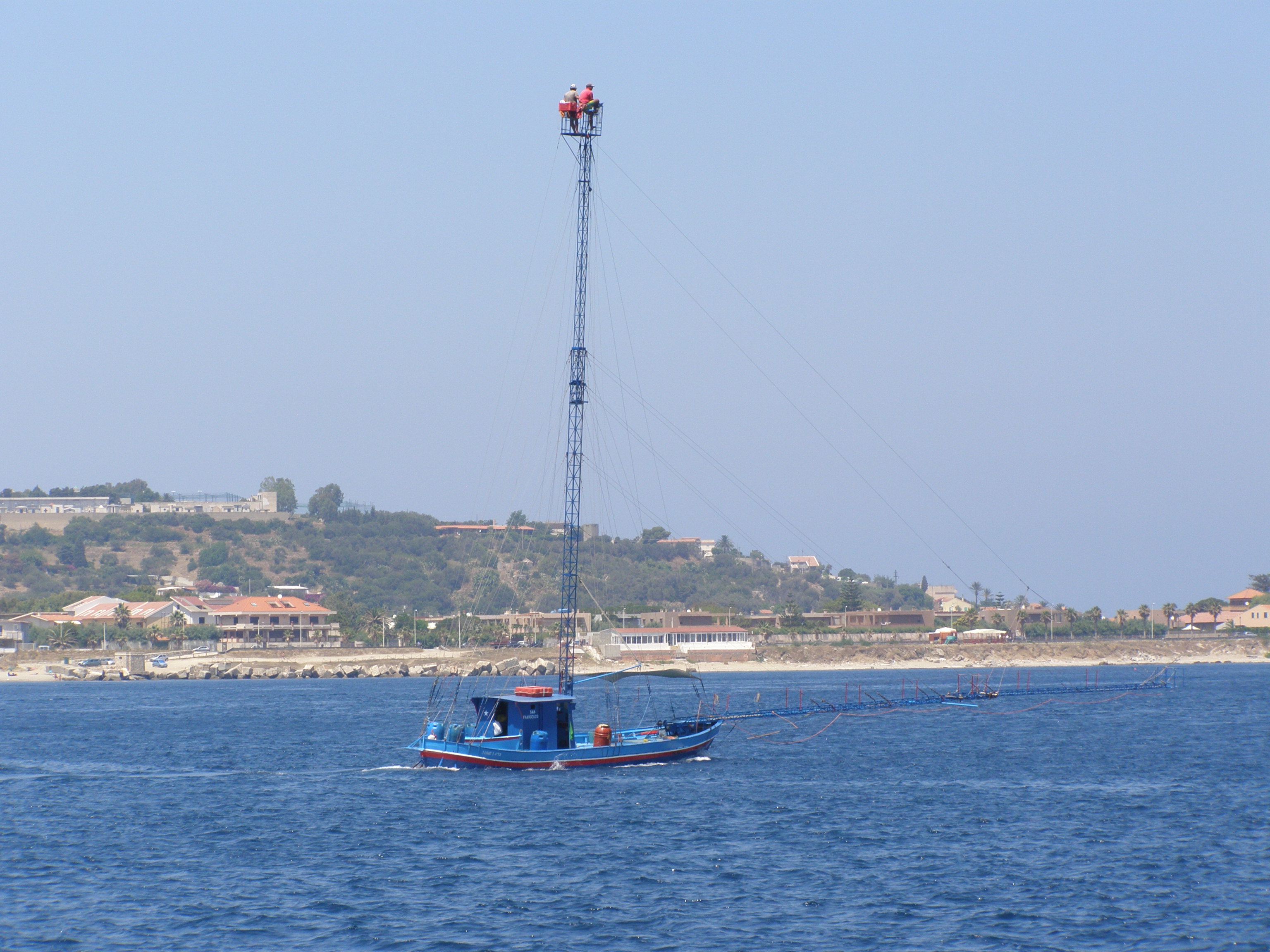
As we collected our samples we saw a lot of these swordfish fishing boats. The boat is actually driven by one of the guys on the top of the mast, also up there are a couple spotters. They are looking for swordfish that sleep during the day near the surface. Once they find one they can slowly approach it and a harpoonist launches a harpoon from the extremely long bowsprit!